Your shopping cart is empty!
![]()
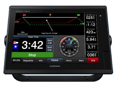
Total systems integration: That’s the focus of Garmin’s newest generation of network-capable chartplotters. Upgraded with new software, these high-speed, high-resolution multifunction displays (MFDs) offer expanded access to onboard sensors with NMEA 2000 compatibility – as well as full Garmin Marine Network™ connectivity. Thus, it’s easy to select and control a whole array of remote sensors and data inputs from any compatible plotter on your boat. Simple menu-driven operation makes for fast, intuitive control/display of all your network options: Everything from autopilot and engine sensors to VHF radios, satellite weather, onboard radar, digital sonar, AIS traffic monitoring, and more. To pinpoint your position anywhere in the world, these robust units feature extra-precise WAAS/EGNOS-enabled GPS receivers.
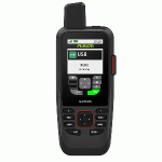
Marine Handheld GPS with BlueChart® g3 Coastal Charts and inReach® Capabilities:Water-resistant, flo..
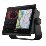
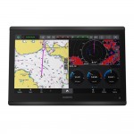
GPSMAP® 1243 Chartplotter GN+You’re a boater who wants premium features, maps, and charts for your c..
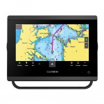
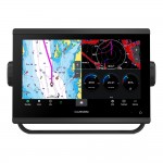
GPSMAP® 743 Chartplotter GN+You’re a boater who wants premium features, maps, and charts for your co..
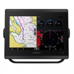
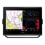
GPSMAP® 8610 Chartplotter GN+You’re a mariner who wants to handpick your sonar but still wants a fas..
GPSMAP® 8612 Chartplotter GN+You’re a mariner who wants to handpick your sonar but still wants a fas..
GPSMAP® 8616 Chartplotter GN+You’re a mariner who wants it all — a fast, high-performance network ch..
GPSMAP® 943 Chartplotter GN+You’re a boater who wants premium features, maps, and charts for your co..
Showing 1 to 7 of 7 (1 Pages)
P2 Marine
306 S Lake Dr
Stevensville, MD 21666
USA

Toll Free: (800) 456-6740
Local: (443) 569-8529
Email: [email protected]
Office Hours: M-F 8:30:-5:00 Eastern